 We passed many castles, but Leamaneh Castle, on the way from Bunratty to Loughrea was kind of special. It sits in the parish of Killinaboy, in the Burren region of County Clare (side note: Kil in the beginning of most places in Ireland like Kilreekil, Kilkenny, Kilinaboy means 'Church'.) I love folkloric stories especially when it involves really badass woman, in this case a pretty cruel woman. Reading up the legend of Leamaneh Castle, it is believed that the ghost of Máire Rúa, or Red Mary, walks its halls and her red haired ghost can also be seen in another castle. Her name was Máire ní Mahon, born in 1615; the name came from the colour of her hair as well as her foul temper. Mary MacMahon had at least 3 husbands however this article on the Irish Place says it's difficult to verify how many husbands she actually had, and this Abandoned Ireland article says she had 25 husbands. Leamaneh means Horse Leap, a folklore story about how Red Mary ordered one of her husbands to ride her favourite horse who took him to the cliffs of Moher and threw him off the cliff to his death.
The Castle had a 15th century tower and a 17th century manor house which was added later because of Mary's inherited wealth from her first husband. It has been left as an abandoned ruin since the late 18th Century.
1 Comment
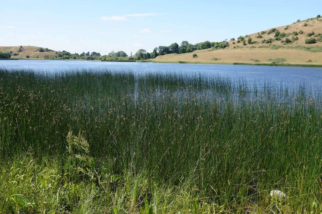
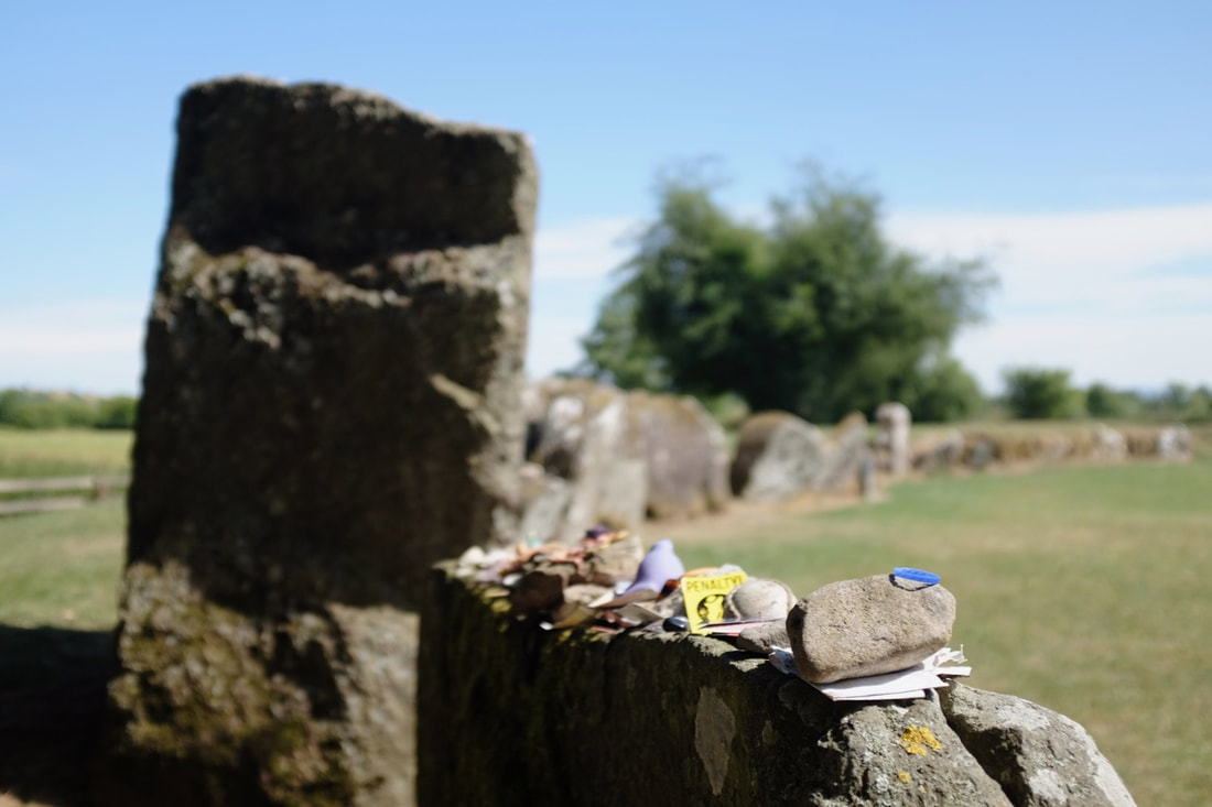
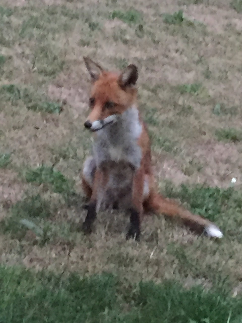
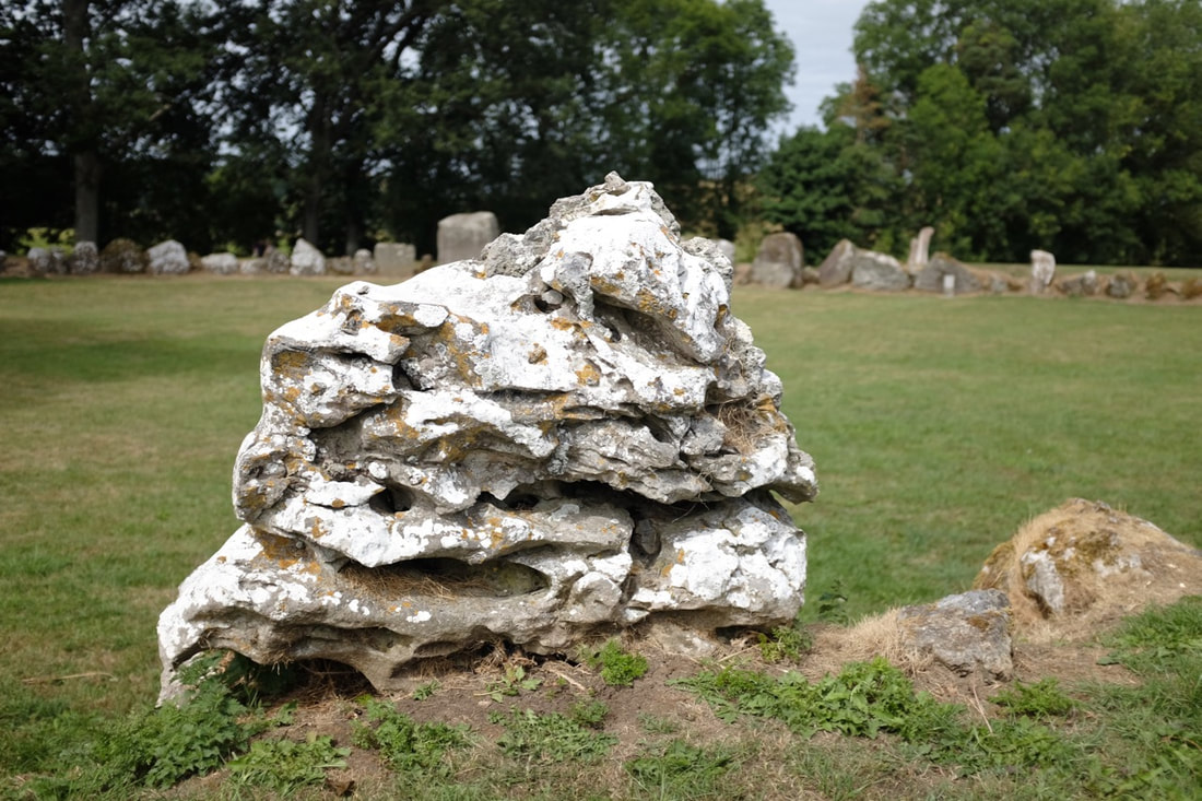
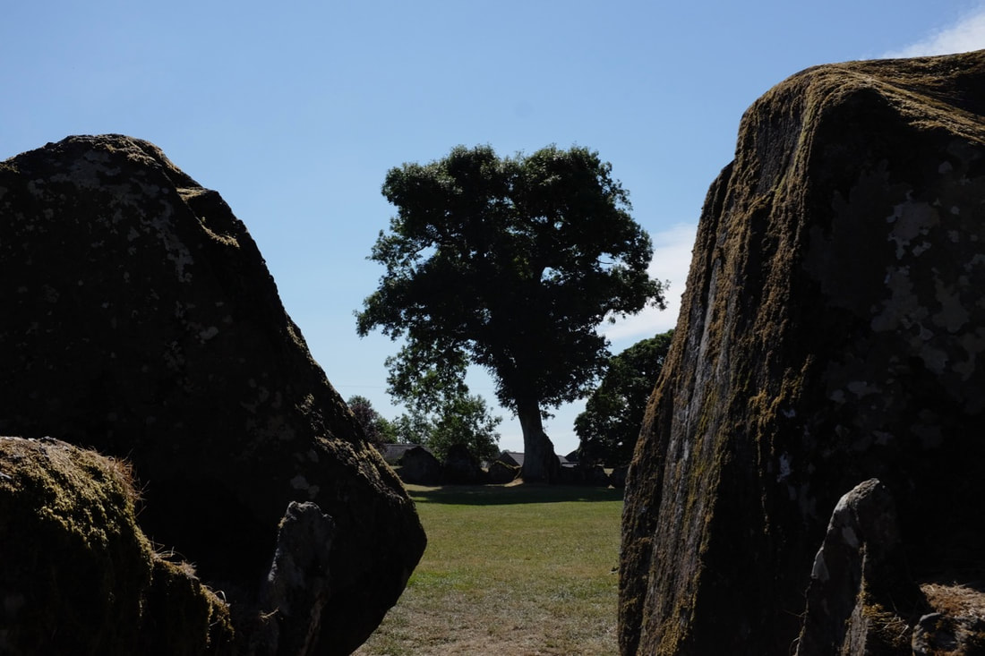
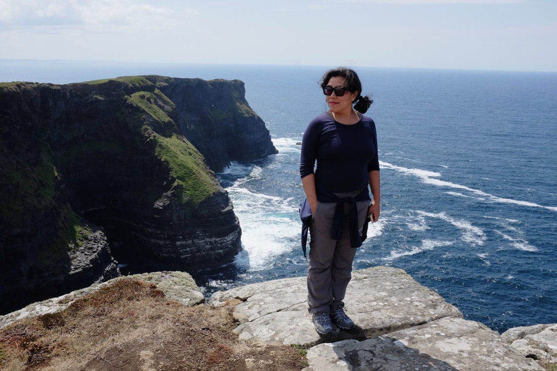
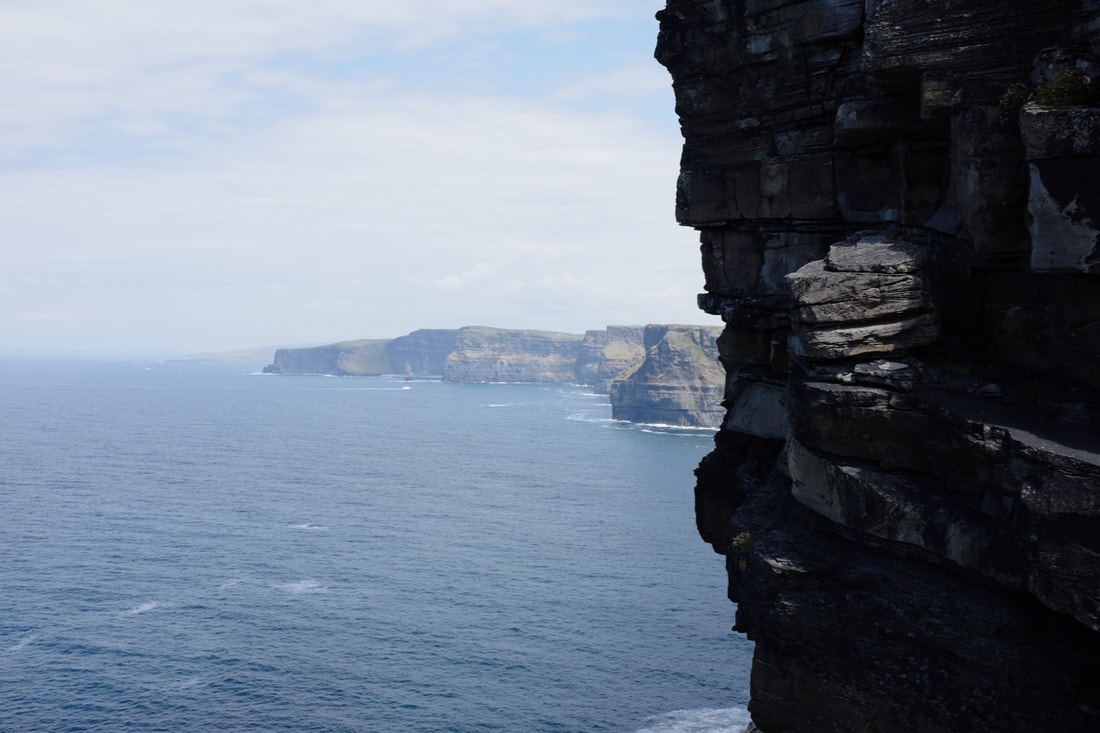
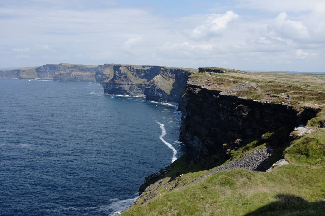
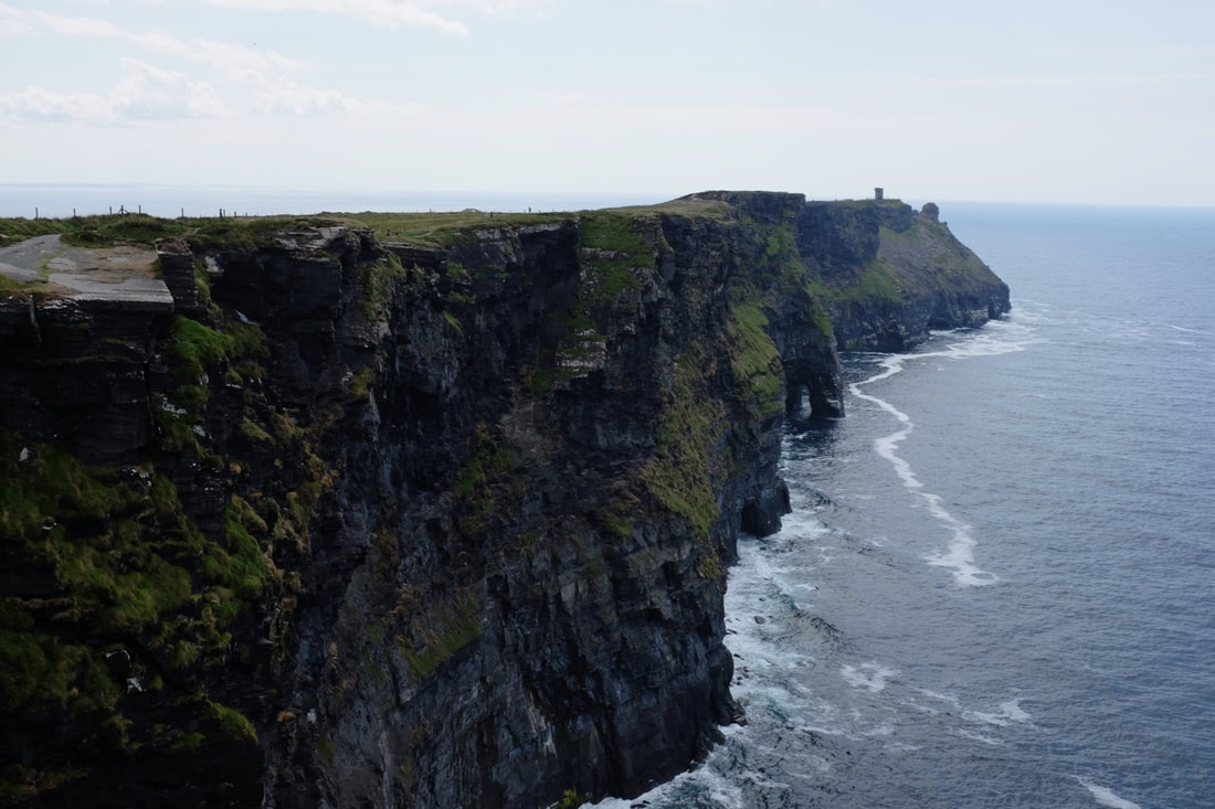
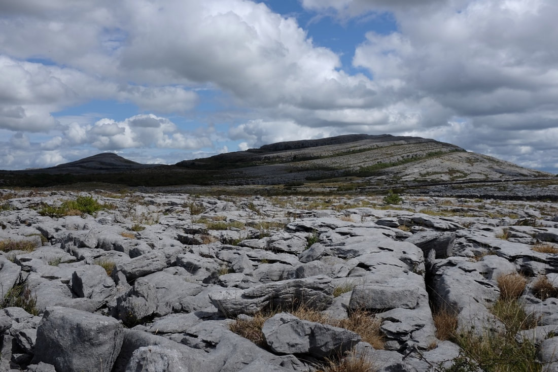
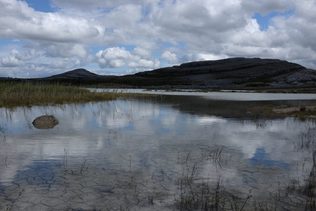
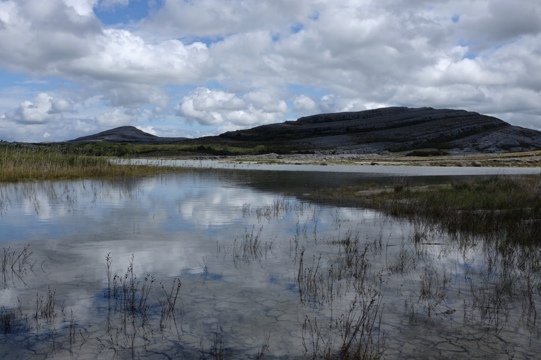
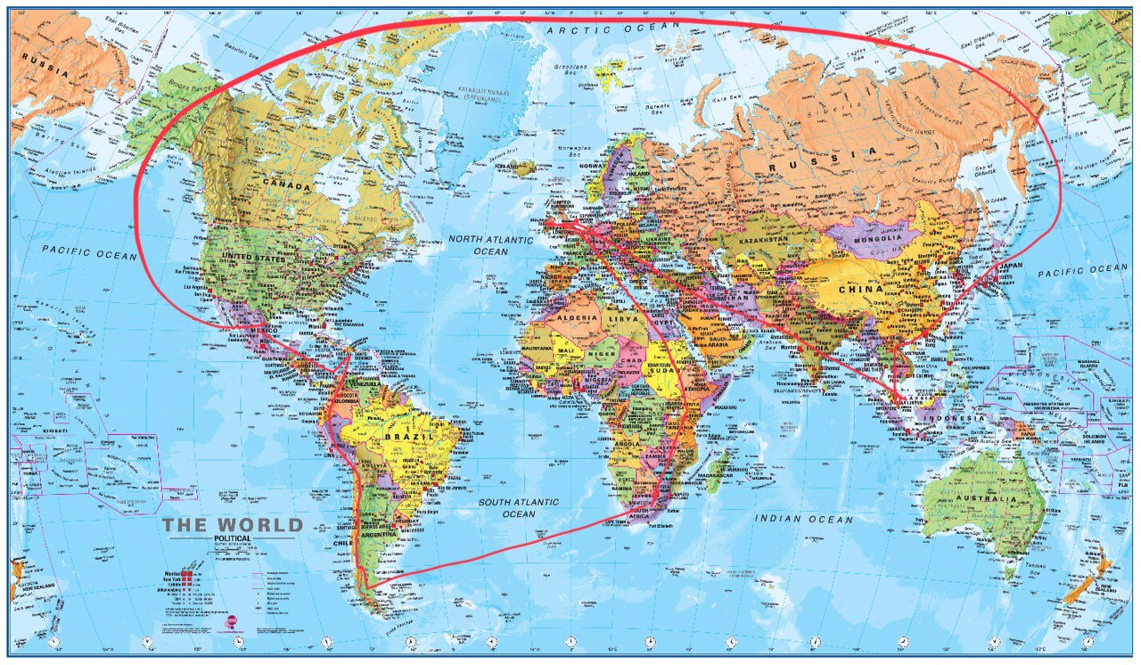
 I've packed just a few brush ink pens and a thin sketchbook. My little pans of travel watercolour tin was corroded during travel, thus needs replacing. That's not all. I seem to be leaving the fashion illustration in Singapore, and haven't felt inspired to draw anything too specific, and doodling aimless seems to sit rather awkwardly in my mind. Maybe aimless is good? Last week, while stuck indoors because of bad weather, I revisited these two illustrators I've been following for a while, Julie Houts (Jooleeloren) and Liana Finck (lianafinck) on Instagram and found their style of using text to express a meditation of people and their thoughts, sometimes satirical, sometimes funny or sad with their drawings, quite entertaining and sometimes poignant. I do love me some poignancy. It was cold in the house, so I thought a hot cup of tea after dinner would be good. This doesn't happen in Singapore, but the caffeine in that tea kept me awake and helped my brain process ideas about conversations Tom and I had that could be turned into some kind of comic. The next day, the first sketch came out. Our friend Cindy calls us Tits and Sass, and I thought it would be fitting for a comic strip. 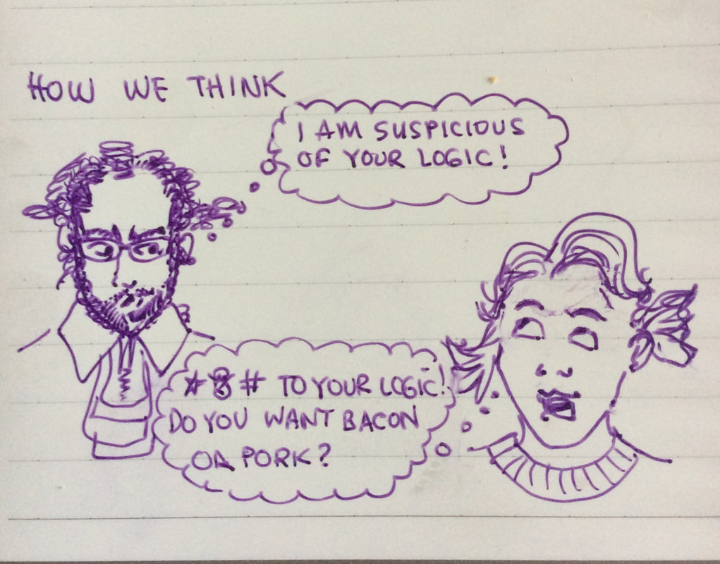 The sketches are really rough, and I am not used to making animated facial expressions, let alone drawing ourselves. But here they are, I am doing them anyways. The thought process in doing a strip is a totally new one for me, I am not sure it's my cup of tea, what do you think? Is this something you'd enjoy seeing more of?  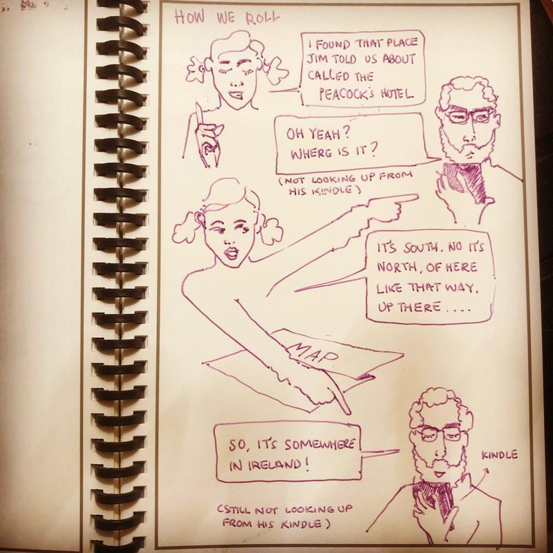 Kilreekil is a good 40 minutes east of Galway by motorway. This means it has comparatively nice weather (although, being in western Ireland, this doesn't say a great deal) but all of the exciting places are a long, long drive away. The two things you're really supposed to do here, apparently, are to go to Clifden and the Aran Islands. This is the only decent picture I got from our excursion to Clifden: it's An Caoláire Rua, Ireland's largest (or possibly only) fjord (or fjard - thank you, pedants of Wikipedia). Here you see the faintest glimmering of sun through the heavy clouds, which totally justified driving for five hours to not really see any other views. 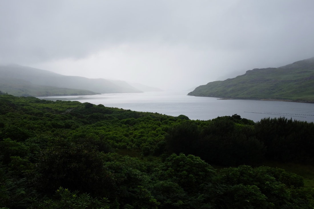 Inis Mór, by comparison, is pretty easy to get to: only 75 minutes' drive to the harbour and then a 40 minute ferry ride. By this time I was not quite driving like a local, but definitely complaining loudly at foreign-registered camper-vans and people going more than 20 kph below the speed limit. It's impossible to take pictures that do the scenery justice - or at least not with my limited skill and equipment. We decided to walk everywhere rather than hiring bikes (or a horse and cart), which meant we didn't get to see as much of the island as we might have, but saw almost all of it with nobody else around. This is Dún Eochla, which all the books say is a superbly preserved ringfort on top of the highest point of the island. Unfortunately, somebody's built what appears to be an enormous water tank in front of it, and put up gates and signs saying you can't actually go there. The big rocks in the foreground in the picture are the top of the water tank, which I climbed on top of to get the best view we could. 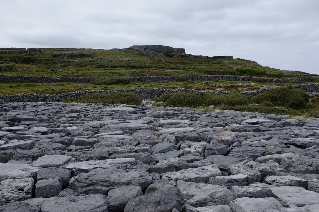 The view down the hill from Dún Eochla: this is the best picture I got of how the place looks. The strange blue colour above the sea seems to be an atypical metereological phenomenon. 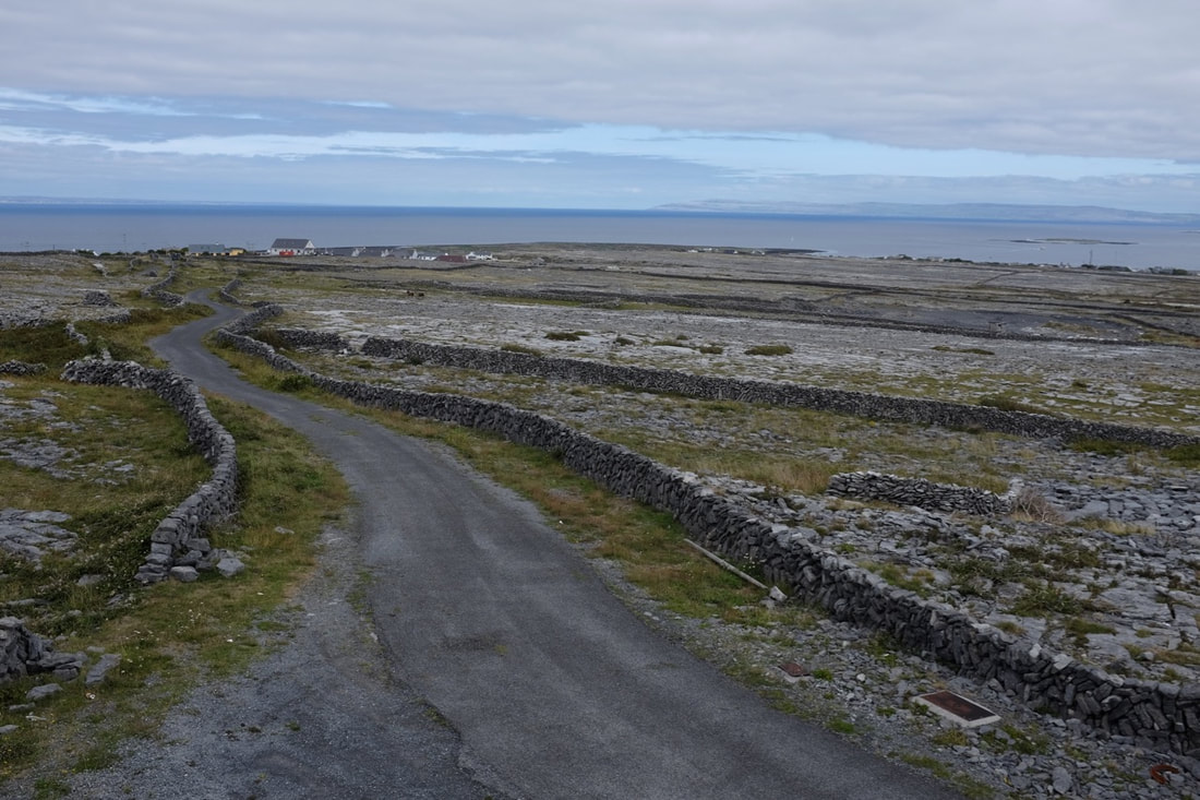 Found this in a dry stone wall - a glacial erratic? 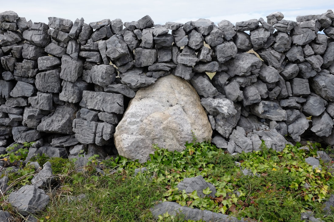 The harbour at low tide - again, this is a pale imitation of what it really looked like. 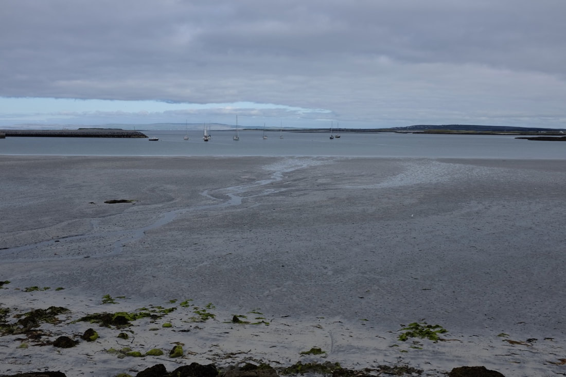 I'm fairly sure this is where I stayed the last time I was here, back in the early '90s. 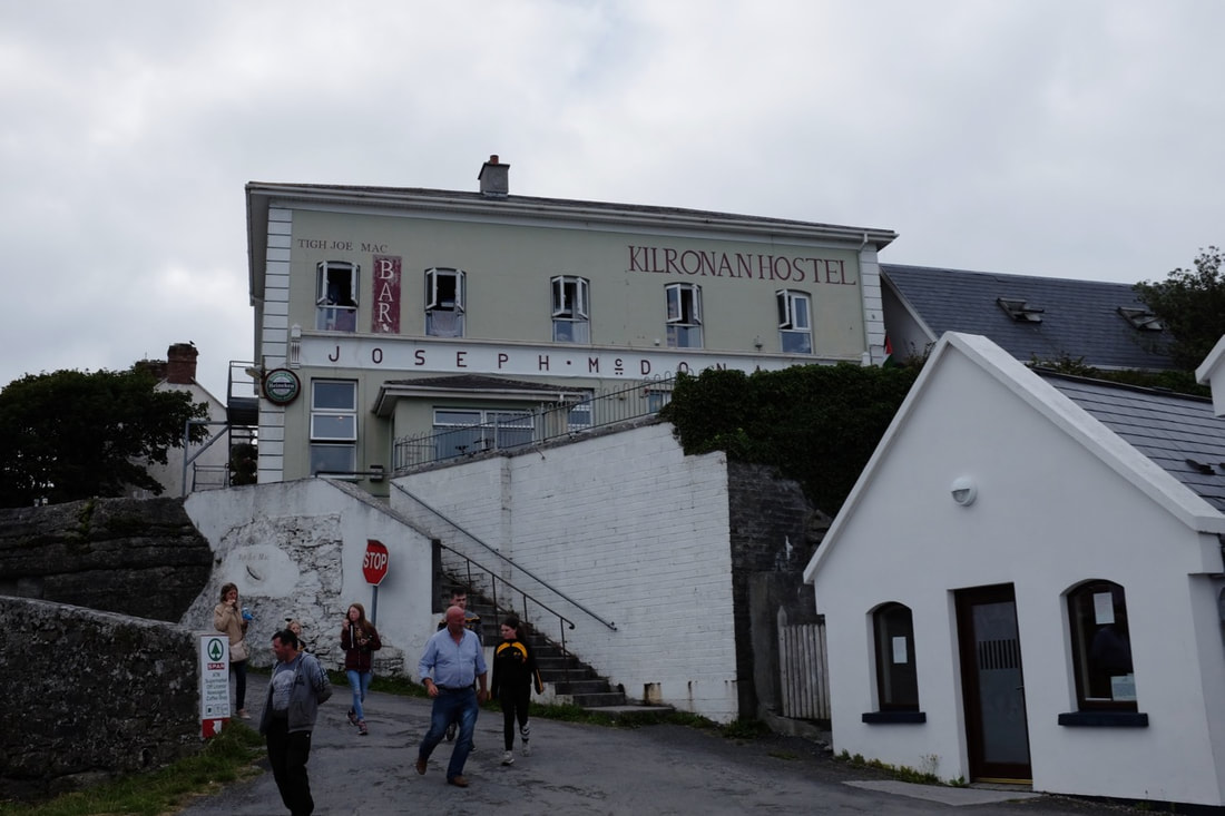 This was parked across from Joe Watty's Bar. Father Ted still casts a long shadow here: in one tourist information place they had directions to the actual house from the titles. They offer organic home-baked teas for ten euros a head, but ask that you book in advance. 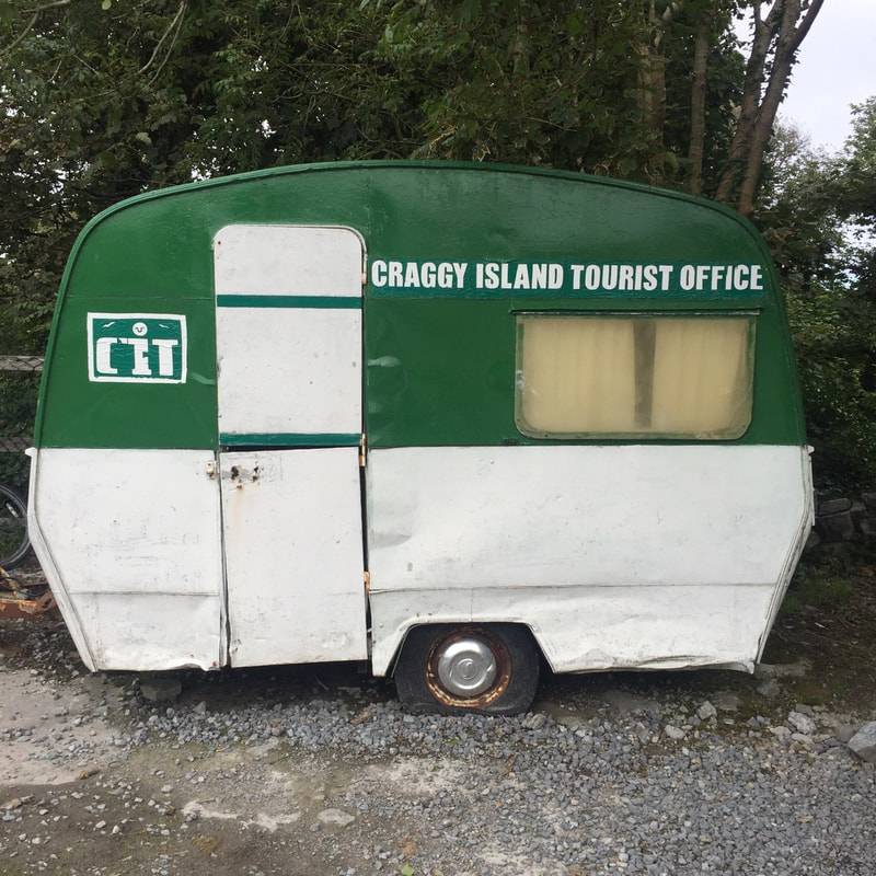 Sounds a bit like one of those obscure dishes in fancy restaurants that you hope is worth it (e.g. the "Chocolate, olive oil, salt" at Dehesa, or the anchovy and butter pintxo I had tonight), but no: here's a photodump of where we went August 16-28. Lough Gur, the Grange stone circle, and our friendly local fox in Bunratty. Grange is the largest stone circle in Ireland, and its entrance is aligned with the rising sun at the summer solstice. People apparently leave small tokens (offerings, perhaps?) on one of the stones. The nearby tree with ribbons and string tied around its branches looks like a hawthorn, to me. More amazing weather, on both days - I got mildly sunburnt at the Cliffs. We went to The Burren to break up the journey after leaving Bunratty (and because heading straight up the motorway to Galway would have got us there far before we were supposed to check in. Google Maps led us down what was probably the most direct route, although it involved some of the smallest roads I've ever driven on, with big hedges and dry-stone walls on each side so that it's impossible to see whether there's somebody hurtling towards you just around the next bend. It did, however, lead us through beautiful scenery and straight to the place where the walking trail leaves the road. There's enough space there for a few cars to park, which saves a good 1 km or so of walking each way from the official car park.
|